Guide
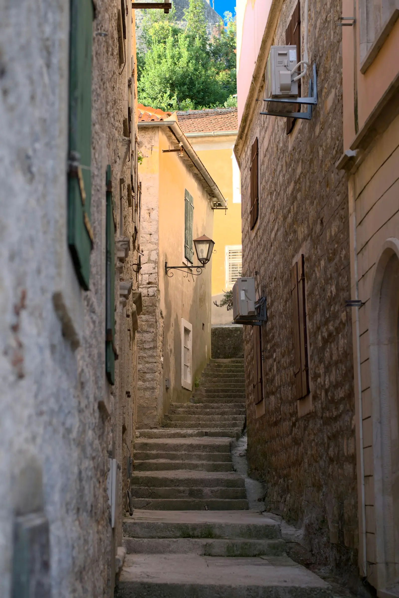
Herceg Novi, the town of steps and mimosa
A town at the entrance to the Bay of Kotor, built on a slope from the fortresses down to the sea. Everything is a few hundred steps away.
Beaches
From sandy Igalo to pebble coves on Luštica.
Igalo
The longest beach in the municipality, sand and shallow water. Good for families with small children.
Town bathing areas
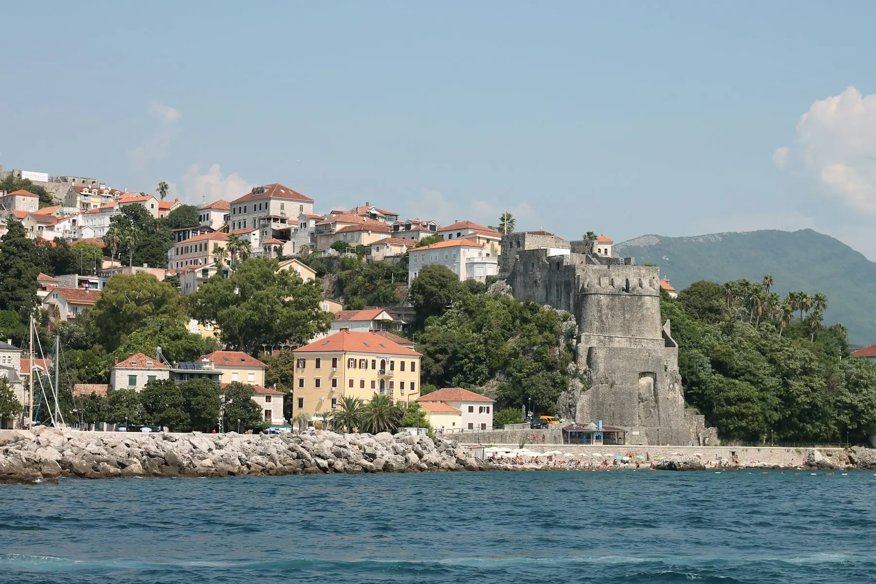
Along the Pet Danica promenade below the Old Town. Concrete sunbathing decks and ladders into deep water.
Kumbor and Đenovići
Pebble beaches lined with pines, quieter than the centre.
Žanjice and Mirište
On Luštica, across from town. About 30 minutes by boat, the clearest water in the bay.
Boat trips
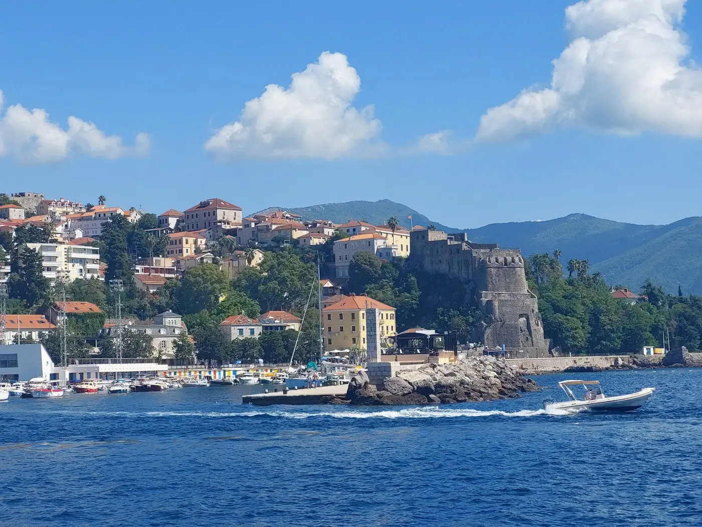
Boats and water taxis leave from the pier in the centre and from Igalo every morning in season.
Mamula
Island with an Austro-Hungarian fortress right at the entrance to the bay.
Blue Cave
Sea cave on Luštica. When the sun is high, the water glows blue.
Rose
Fishing village at the tip of Luštica, stone houses and lunch by the sea.
Mimosa Festival
At the end of winter the town turns yellow with mimosa. The Mimosa Festival runs from late January to March: carnival parades, music on the squares and fishermen's evenings. Mimosa is also why our buttons are yellow.
mimosa blooms as early as February
Getting here
By plane
Tivat airport is about 25 km away, Dubrovnik (Čilipi) about 30 km, via the Debeli Brijeg border crossing.
By bus
The bus station is above the Old Town. Direct lines to Kotor, Budva, Podgorica and Dubrovnik.
By car
On the Adriatic highway from Croatia, or from Budva via the Kamenari–Lepetane ferry.
By boat
The marina in the town centre takes yachts and sailboats; Zelenika has the border crossing for vessels.